Mountain Glaciers and CryoSat
Project Description
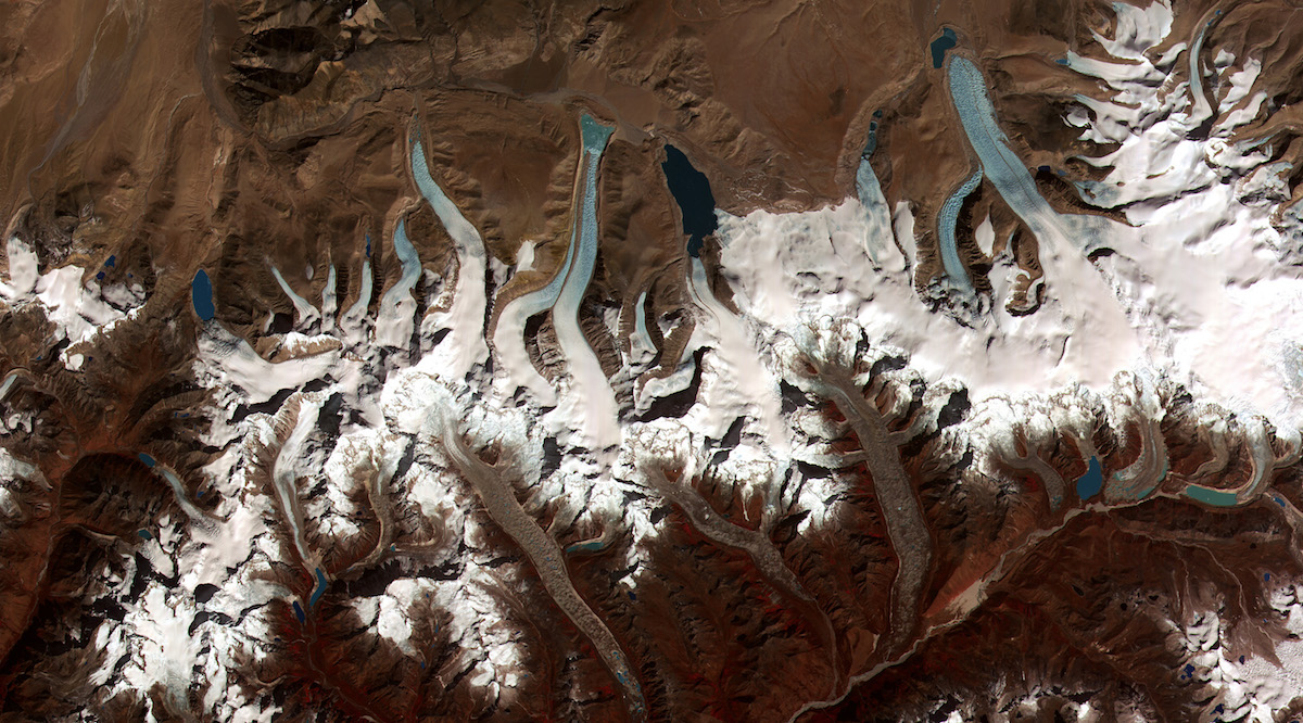
The Mountain Glaciers project aims to generate swath elevation over the High Mountain Asia and Alaska regions using data from the CryoSat satellite radar altimeter. From the swath elevations, rates of surface elevation change, mass change and contribution to sea level rise are quantified to estimate global impact of the target area. The scientific impact and benefits of the CryoSat-2 data in the context of mass balance estimates for mountain glaciers is interpreted and analysed.
Project Details
Project Duration: 2019 – 2020
Project Partners:
- European Space Agency (ESA)
- University of Edinburgh
- isardSAT
- ENVEO